India just launched a $1.5bn NASA satellite to track climate change from space
Published on Aug 05, 2025 at 2:00 AM (UTC+4)
by Keelin McNamara
Last updated on Aug 04, 2025 at 4:10 PM (UTC+4)
Edited by
Amelia Jean Hershman-Jones
India is one of the world’s fastest-growing global economies, and its new NISAR space project and NASA satellite are proof of that.
It has long been considered to have the potential to be the next major global superpower, but now it seems the sky’s the limit.
As a matter of fact, the country stole the headlines this week with the launch of a new NASA satellite.
And this satellite is officially the world’s most expensive Earth-observation satellite.
DISCOVER SBX CARS: The global premium car auction platform powered by Supercar Blondie
India launches most expensive Earth-focused NASA satellite
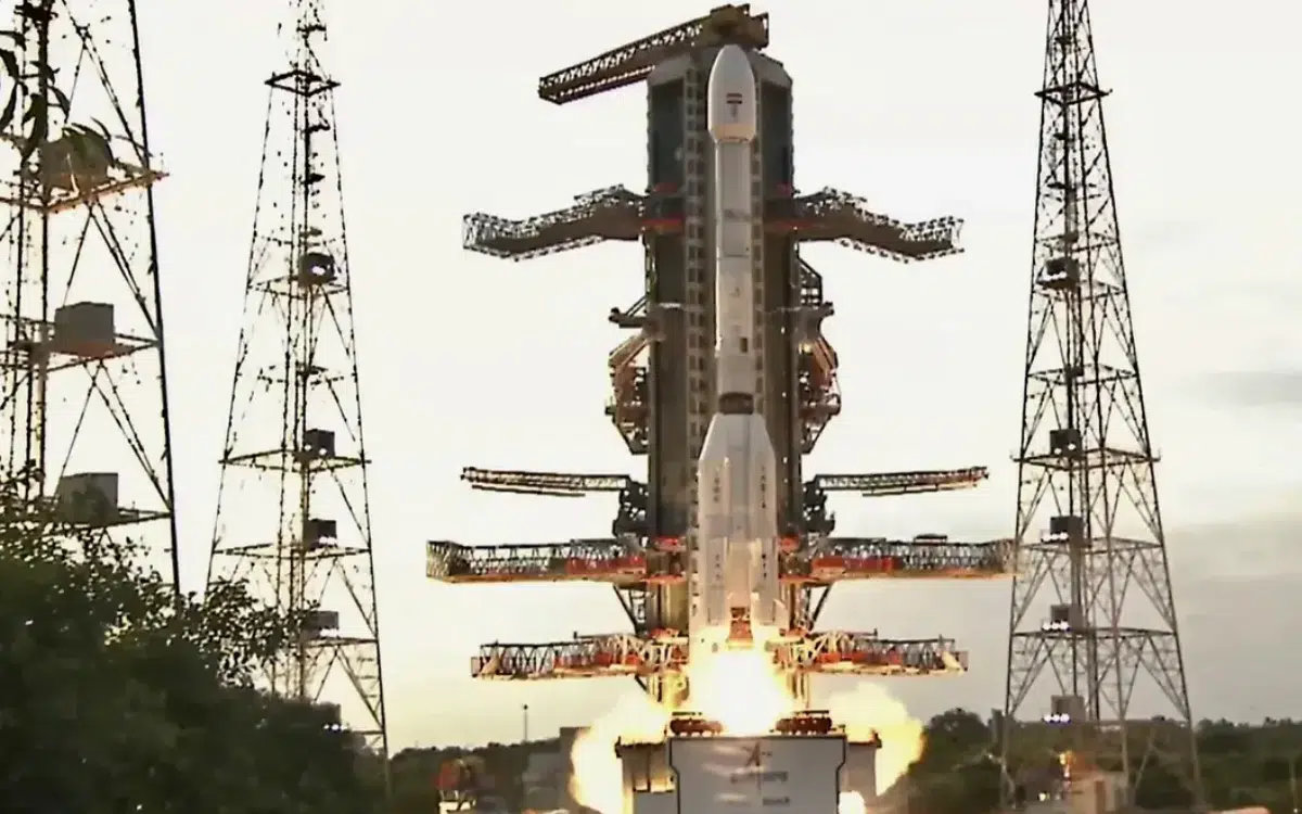
Last week saw India briefly become the epicentre of all things space-related.
NASA’s science leadership travelled to the country last week for the launch of an enormous satellite.
This mission, named NISAR (NASA-ISRO Synthetic Aperture Radar), was successfully launched last Wednesday.
Weighing almost three tonnes and coming with a 12-metre radar antenna, this NISAR satellite will perform some major functions.
The project is a result of a collaboration between NASA and IRSO, the Indian space agency.
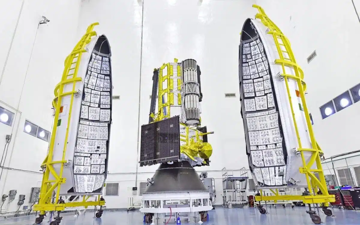
This $1.5bn satellite has been deployed to orbit 464 miles above the Earth’s surface.
It will collect data about Earth’s land and ice surfaces twice every 12 days.
With the ever-rising threat of climate change, weather satellites have proven crucial to scientists.
They have allowed local authorities to plan emergency responses, as well as to weather forecasts.
Unfortunately, most normal satellites face a big issue – they can only track weather when conditions are clear.
This NISAR satellite, however, is a game-changer because it is able to overcome these issues.
NISAR satellite could be a big game-changer
It achieves this by using synthetic aperture radar (SAR) technology to take images of the Earth.
Interestingly, it is this technology that actually gives the $1.5bn satellite its name.
The NISAR acronym stands for NASA-ISRO SAR.

SAR technology is actually not a new invention – as a matter of fact, it was invented in 1951.
Instead of using reflected sunlight to passively image the Earth’s surface, SAR works differently.
It works by beaming a radar signal toward the surface and detecting the reflected signal.
The simplest comparison would be like using a flash to take a photo in a dark room.
It’s widely thought that such an expensive, in-depth collaboration could set the template for future satellite projects.